EDGE COMPUTER VISION
ATLAS
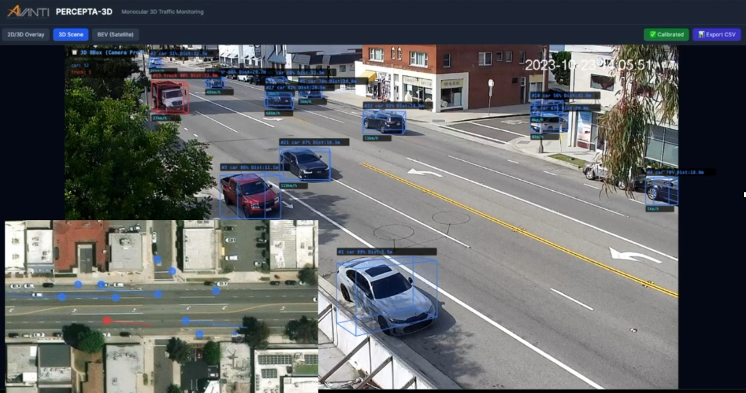
Turn everyday traffic into useful intelligence. ATLAS recognizes vehicles and pedestrians with computer vision processed fully at the edge, helping cities understand how their streets are used.
Traffic intelligence, processed at the edge.
Illustrative scene with computer vision overlays.
WHAT ATLAS DOES
Understand movement where it happens, with recognition tailored to the places and people you serve.
01
Identify vehicles and pedestrians across complex urban scenes, with support for regional vehicle types such as ASEAN tuk-tuks.
02
Run computer vision locally to support anonymity and reduce the amount of data transferred to the cloud.
03
Customize recognition for the installation, local mobility mix, and conditions on the street.
04
Connect ATLAS outputs to PERCEPTA for traffic visualization and analysis alongside other urban data.
CONNECTED BY DESIGN
ATLAS provides the traffic intelligence. PERCEPTA gives teams a place to explore it, compare patterns, and turn observations into decisions.
Observe the street
Recognize at the edge
Analyze in PERCEPTA
URBAN DATA ANALYSIS & VISUALIZATION
Turn urban observations into actionable insight.
LET'S WORK TOGETHER